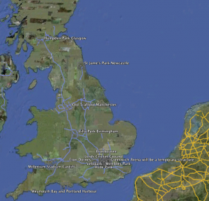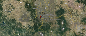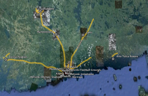


Our current research involves us mapping every venue from every Summer Olympic Games. From there we can layer information such as infrastructure and population density to understand the various factors which drive the location of different venues. We are also looking at establishing a catalog of venue layouts. For instance, Helsinki in 1952 shows a central layout with single direct routes to venues outside of the immediate city. Mexico City in 1968 shows an interconnected web of venues, while the upcoming 2012 Games in London show how the Games have grown to envelope an entire country.